HIGHWAY 9 · FROM 80 KM EAST TO TOWN · PRAIRIE ROADS
From Hanna to the rim on Highway 9
An hour of flat wheat country, sidings and sky, and then the road tips over an edge you could not see coming. Few drives in Alberta change character so abruptly.
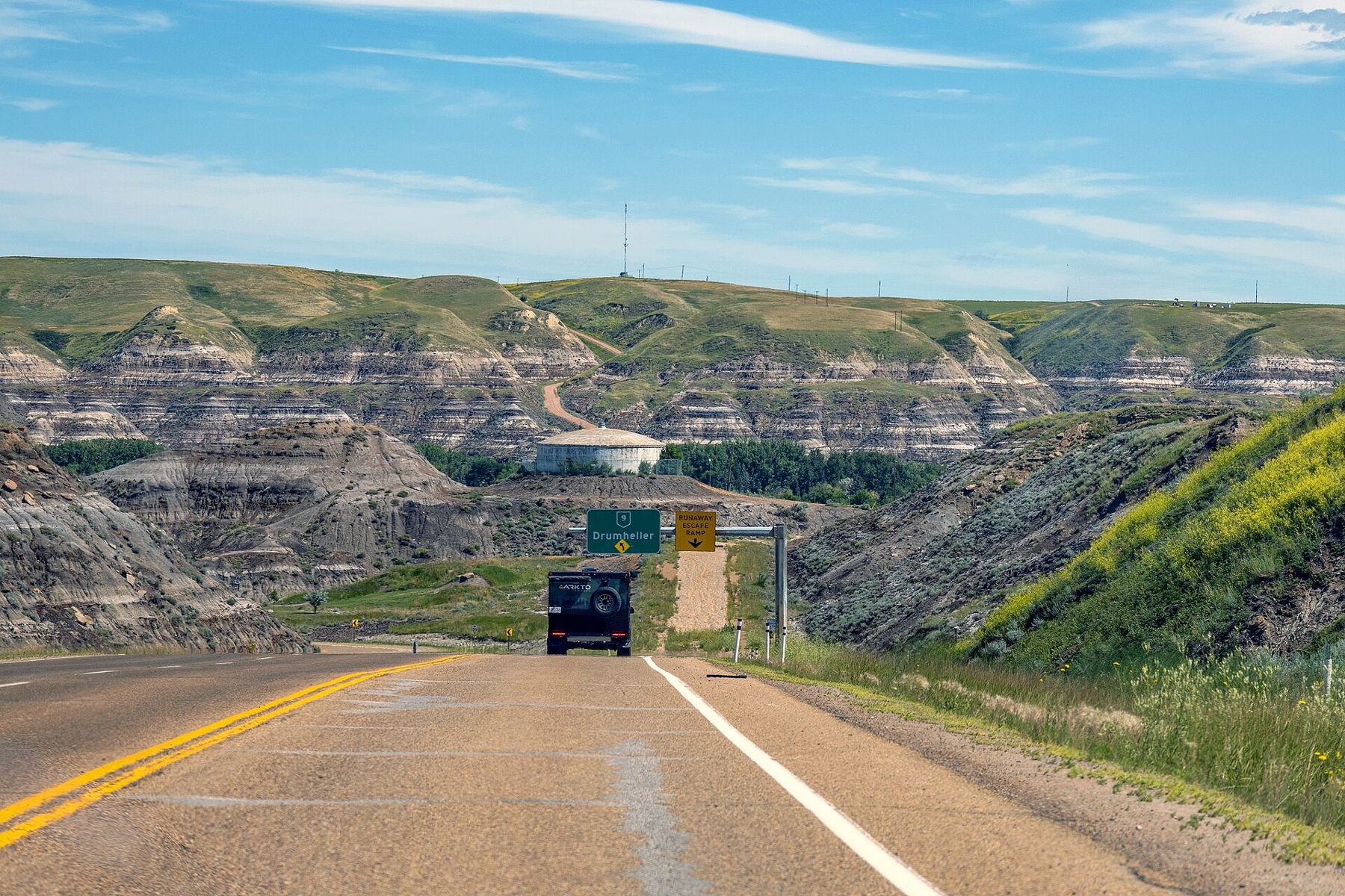
Highway 9 is the road that ties Hanna to Drumheller, and it is the best way to understand why this part of Alberta is called the Badlands at all. For most of the way there is no sign of anything bad about the land. It is wide, level and farmed to the horizon. Then, near the end, the ground simply opens.
The drive takes about an hour without stops. Give it more. The pleasure is in watching the country change, and in the small things along the way: a siding, an old schoolhouse, a hawk on a fence post, a storm building twenty kilometres off.
Leaving Hanna across the plain
Hanna sits where Highway 9 meets Highway 36, a railway town on open, rolling plain. Heading west, the town falls away quickly behind you. Fields run on both sides in long rectangles, laid out on the survey grid that shapes all of the prairie provinces. Roads cross at right angles every mile or so, and farmyards sit inside windbreaks of planted trees.
This is dry country. The east-central part of Alberta gets little rain, and in the drought years of the 1930s many farms here failed. The large administrative district around Hanna, the Special Areas, was created out of that hard decade. As you drive, notice how the land shifts between cropland and native grass pasture, and how many old farmsteads stand empty: the plain has been settled and unsettled more than once.
Look at the fence lines too. Barbed wire on wooden posts runs for kilometres beside the road, and the posts are favourite perches for hawks in summer. Red-tailed and Swainson's hawks hunt ground squirrels in the ditches, and in late summer you may count a dozen on a single stretch. In winter, snowy owls sometimes come south onto these fields and sit on posts or haystacks, pale against the snow.
Sidings, elevators and small places
The railway ran roughly alongside the highway, and small places grew at its sidings. Craigmyle is one of the names you pass. Some of these places are now a few houses and a church; some are little more than a name on a sign. In the past most would have had a grain elevator, and spotting the survivors, or the empty concrete footings where they stood, becomes a game on this road. Reading a grain elevator from the road explains what you are seeing.
Churches are the other landmark. Many small prairie settlements built a wooden church long before they built much else, and some of those churches still stand alone on a rise, the last building left from a community that has moved away. Photograph them from the road or the churchyard gate; many are still cared for by local families.
If you stop, pull well off the highway. Trucks and farm machinery use this road at speed, and the shoulders are narrow in places.
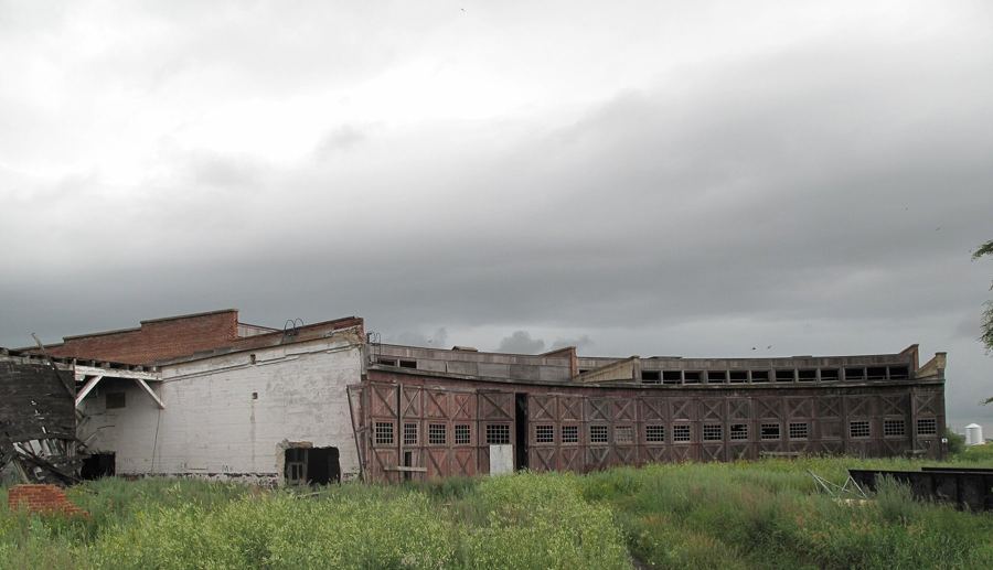 Further along the horizon · About 80 km eastHanna and the old railway line
Weather you can watch coming
On a plain this open, weather is a moving thing you can see. A summer thunderstorm shows up as a tower of cloud long before it arrives, often with a grey curtain of rain or hail hanging beneath it. In strong wind, dust lifts from dry fields. In winter, drifting snow can cross the road in low, fast ribbons that hide the pavement.
Hail and blowing snow are the two things most likely to make this drive unpleasant, and both can arrive quickly. Big skies by season has more on what each part of the year brings.
The drop into the valley
Near Drumheller the farmland ends without warning. The road reaches the edge of the Red Deer River valley, and below lies a different world: grey, brown and rust slopes cut into gullies, bare of soil, with the town spread along the river at the bottom. The highway then descends through those slopes into the valley.
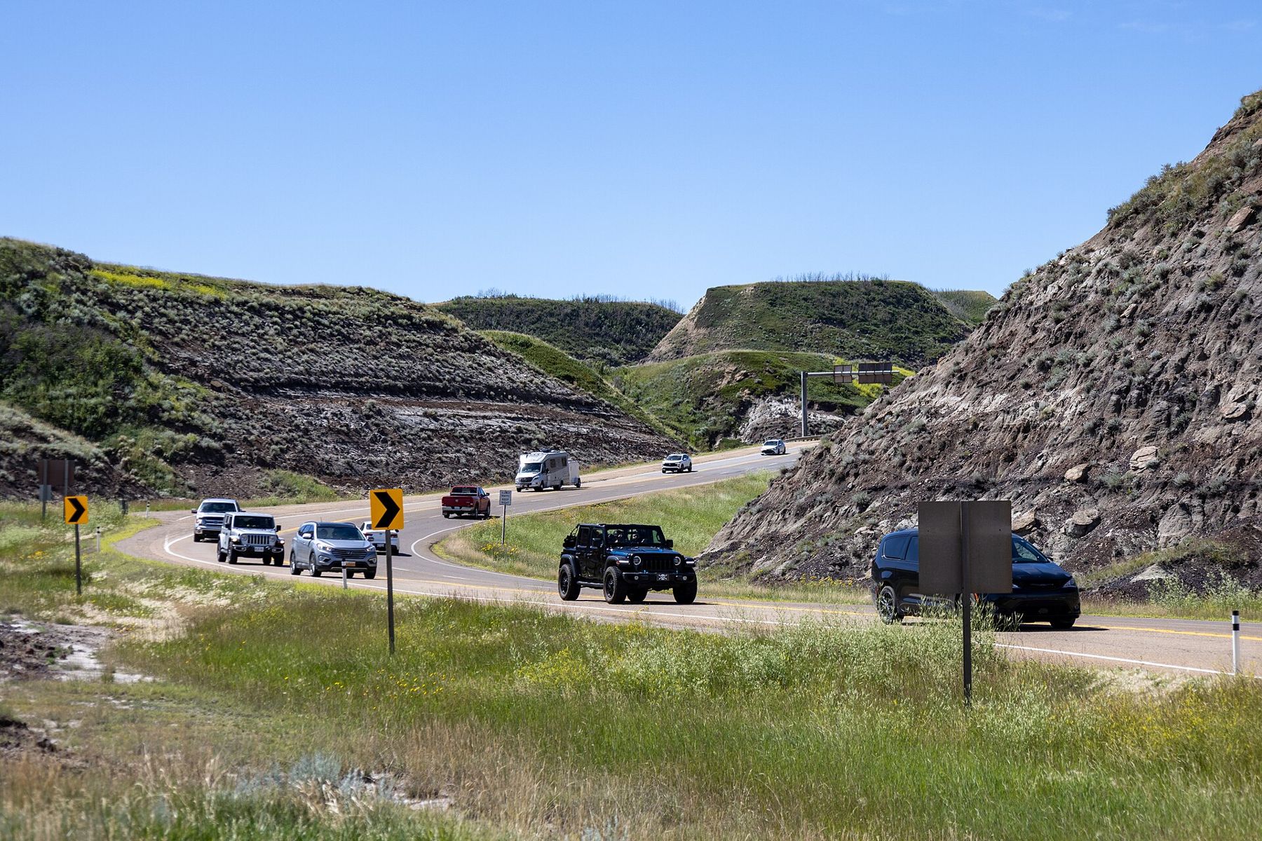
The contrast is the point of the drive. For an hour you have seen only what the glaciers and farmers left on top. The valley shows what lies underneath: layers of sand, silt, clay and coal laid down tens of millions of years ago, exposed when meltwater at the end of the last ice age carved the valley out.
If traffic allows, use a signed pull-off near the top to take it in before you descend. From the rim the valley looks almost unreal: the green ribbon of the river and its trees, the town's roofs, and on every side the bare, banded slopes. It is the same view that tells you, more clearly than any sign, that you have arrived in the Badlands.
Driving it safely
Highway 9 is a good two-lane highway for most of its length, but it carries trucks, and wildlife crosses it. Deer are common near dawn and dusk, and pronghorn sometimes graze close to the road on the open plain. Slow down when you see one: others are often nearby.
Services are limited between the two towns. Fill up in Hanna or Drumheller, carry water in summer, and keep a warm layer and a blanket in the car in winter. Mobile signal is generally fair along the highway but can fade in the valley.
An hour on the plain, both ways
Drive west in the morning, with the light behind you, and arrive at the valley rim while the slopes still hold their colour. Spend the middle of the day in Drumheller, perhaps at the museum or on the hoodoo road, and return east in the evening, when the plain glows and the sun sets in your mirrors. It is a simple route, and it shows more of what makes this region different than many longer ones.