WAYNE · ABOUT 15 KM SOUTH-EAST · PRAIRIE ROADS
Eleven bridges to Wayne
South of Rosedale, a short road follows a small winding river up a narrow coulee, crossing it again and again on one-lane bridges until it reaches a coal town that almost emptied.
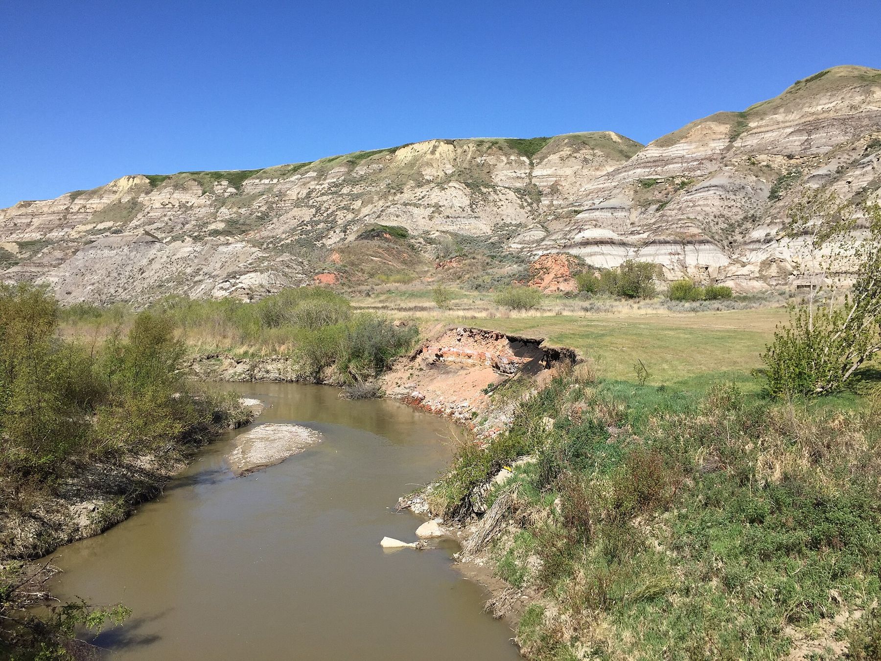
At Rosedale, just south-east of Drumheller, a smaller road leaves Highway 10 and heads south into a side valley. It is signed as Highway 10X, and it runs only a few kilometres to the old mining town of Wayne. In that short distance it crosses the Rosebud River again and again: the road keeps to the valley floor, the river wanders from side to side across it, and the builders chose bridges over cuttings. The count is famous in the valley. Eleven crossings, most of them a single lane wide.
A narrow valley and a wandering river
The Rosebud River rises far to the west on the prairie, flows past the hamlet of Rosebud and down through its own small badlands before joining the Red Deer River near Rosedale. By the time it reaches this stretch it is a modest stream for most of the year, brown with silt and lined with willows and cottonwoods. In spring and after heavy rain it can rise quickly and undercut its banks.
The valley walls are steep and close. Banded slopes of grey, buff and rust rise on both sides, with grassy benches higher up. The rock is the same sequence of sandstone, mudstone and coal seen across the Drumheller valley, and the coal in those slopes is why there was a road here at all.
Taking the bridges one at a time
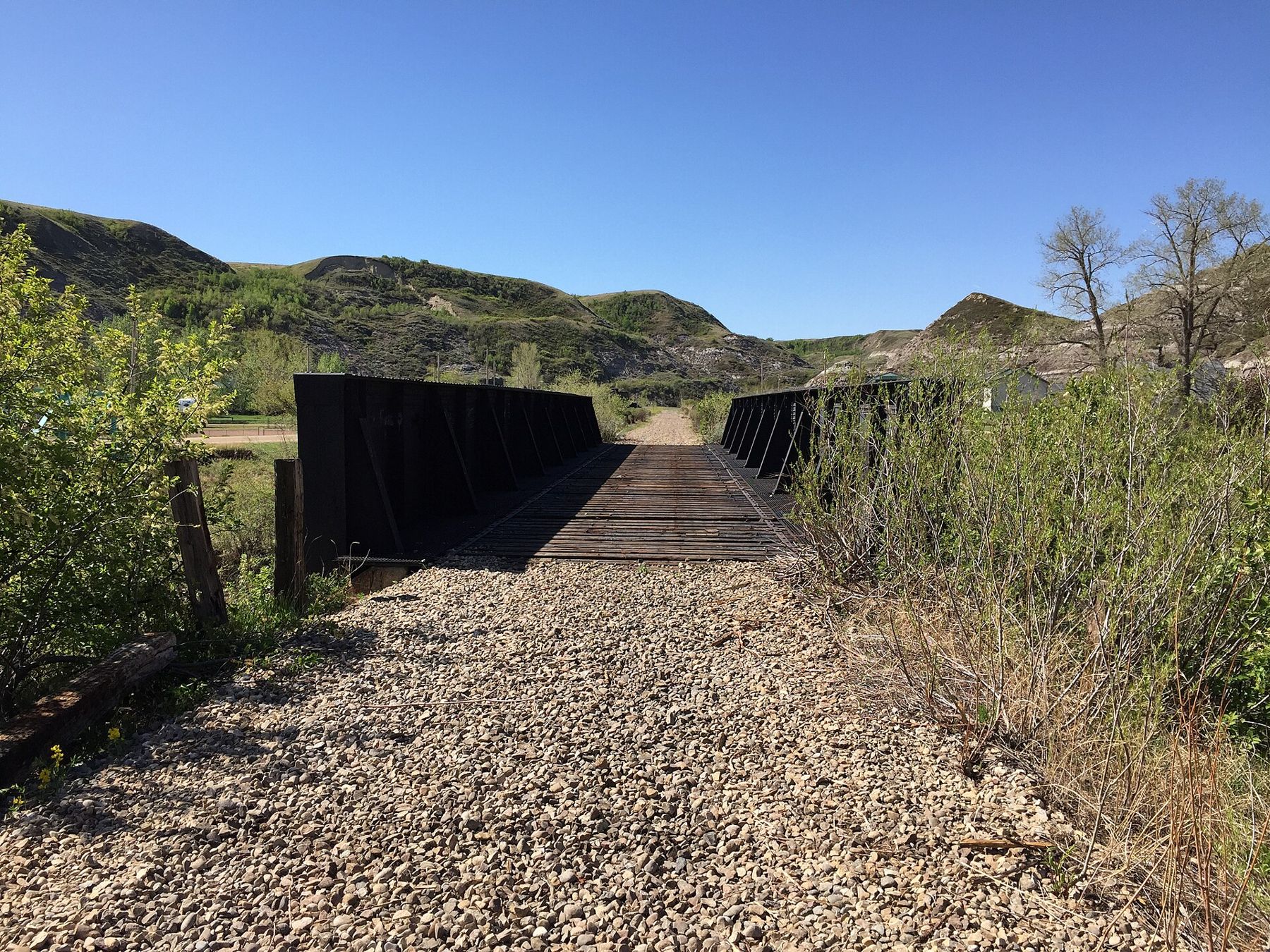
Most of the bridges are short, with simple railings and room for one vehicle at a time. Signs ask drivers to yield, and the road bends sharply onto and off many of them. This is a road to drive slowly. Look ahead before each crossing, give way to anyone already on the bridge, and watch for cyclists, walkers and farm traffic. In summer, motorcycles use the route in numbers, especially on weekends.
Counting the bridges is part of the fun, and children tend to keep score. Some of the original crossings have been rebuilt or replaced over the years, so the bridges vary in age and style. The view changes at each one: a bend of the river, a stand of trees, a slope of bare clay, a farmyard tucked into the valley floor.
Between the crossings, the road runs past hay meadows and grazing land on the valley floor, and cattle are sometimes close to the fence. Hawks hunt along the slopes, and in early summer the low ground by the river turns bright green while the hills above are already fading to tan. It is a short drive, but there is a lot to look at.
Stop only where there is room to pull fully off the road. The shoulders are narrow, and a parked car on a bend can cause trouble. The bridges themselves are not places to stand and take photographs; find a safe spot nearby instead.
The count is famous in the valley.
 Further along the horizon · About 6 km south-eastCrossing the Star Mine suspension bridge
Wayne in its coal years
Wayne grew up around coal mines in the early twentieth century, when demand for heating fuel across the prairies made every seam in the valley worth working. A railway line came up the valley, and with it miners and their families from many countries. In its busiest years the town had a few thousand people, with stores, hotels, a school, churches and the noise and dust of the mines.
As in the rest of the valley, the end came when oil and natural gas replaced coal. The mines closed, the railway was eventually abandoned, and people left for work elsewhere. Wayne shrank to a handful of residents. Today it is a quiet hamlet with a short main street, a few older buildings and houses, and plenty of empty lots where the town once stood. It is often called a ghost town, though people still live here.
What you find at the end of the road
Wayne is small enough to walk end to end in a few minutes. Look for the older buildings on the main street, the line of the former rail grade, and the slopes above the town where mine workings once cut into the hills. Some private property sits close to the road; respect fences and signs, and do not wander into yards or old structures.
The town draws visitors on summer weekends, and some special events bring large crowds. On a weekday outside high summer, you may have the place nearly to yourself.
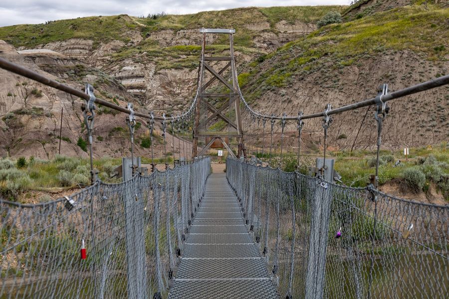
Back down the valley, the Star Mine Suspension Bridge at Rosedale is a short drive from the junction, and the Atlas Coal Mine further along Highway 10 shows how the coal was sorted and shipped.
Driving the bridges with care
- Go slowly; the bends onto each bridge are tight and sight lines short.
- Yield to oncoming traffic already on a bridge.
- Large motorhomes and trailers can manage the road, but take extra care on the turns.
- Watch for deer in the valley, especially at dawn and dusk.
- After heavy rain.
Shade comes early in the coulee
The valley is narrow, so the sun leaves its floor well before it leaves the plain above. On summer evenings the coulee cools quickly and fills with soft light on the upper slopes. Mornings are bright on the eastern walls and often still. In winter the road is open but can be icy on the bridge approaches, and snow outlines the banding in the hills. Whatever the season, the drive takes only a short while, and it rewards a slow pace more than almost any other road in the valley.