BROOKS · ABOUT 160 KM SOUTH-EAST · PRAIRIE ROADS
The Brooks Aqueduct on the way to the park
A long line of concrete legs carrying an empty trough across a shallow prairie valley. It once watered a great sweep of dry land, and it is an easy stop on the drive to the fossil beds.
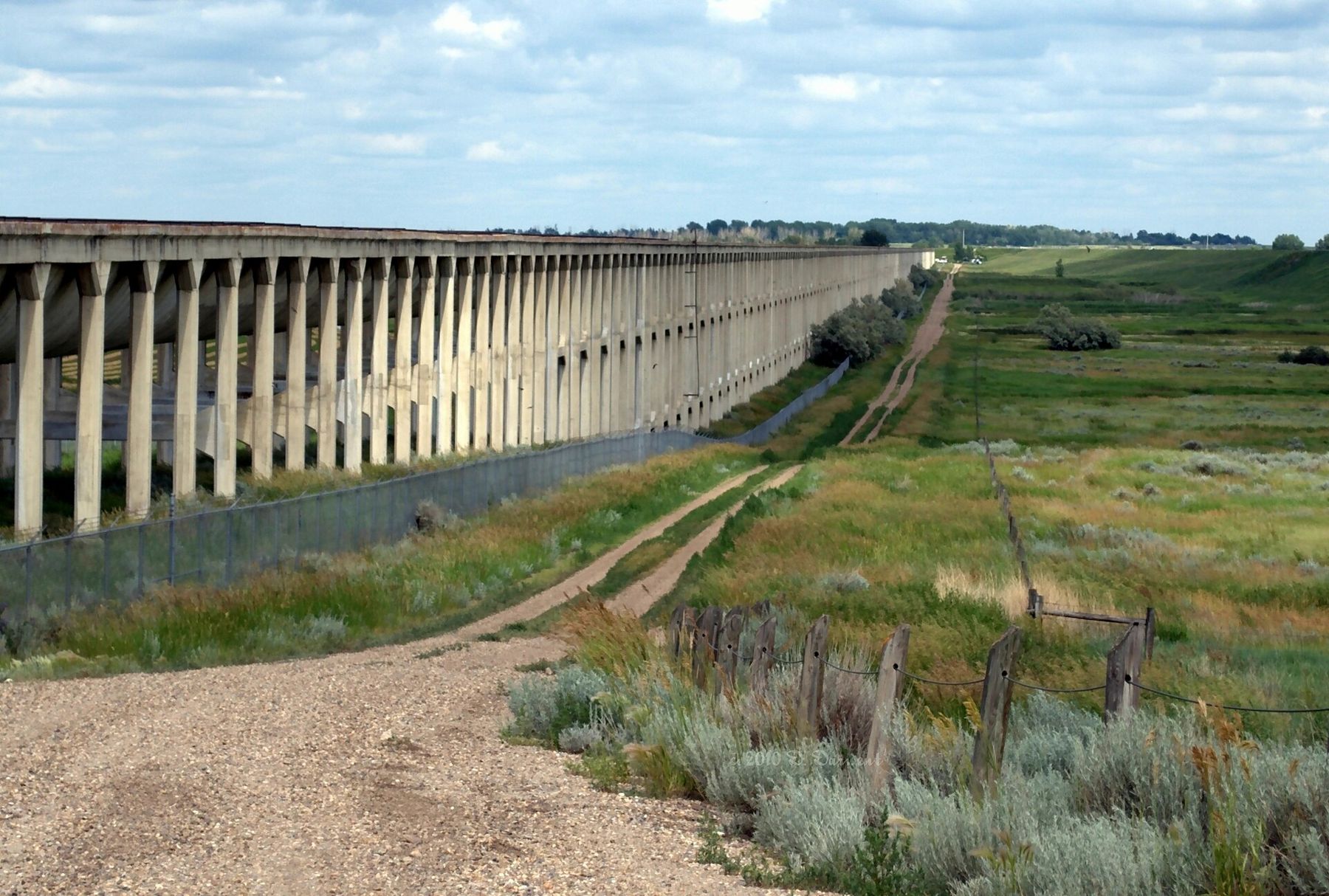
On the open prairie south-east of Brooks, a strange structure runs across a shallow valley: a long concrete trough held up on hundreds of slender legs, curving slightly as it goes, ending abruptly at either side. It looks like part of a bridge, or a ruin of something larger. It is in fact one of the most important pieces of engineering in the history of southern Alberta: the Brooks Aqueduct, built to carry irrigation water across a dip in the land.
For travellers heading to Dinosaur Provincial Park, it makes a natural stop. It shows another side of the dry plains: not what the rivers took away, but what people brought in.
Water for a dry land
Southern Alberta is short of rain. In the early twentieth century, the Canadian Pacific Railway, which owned huge tracts of land here, set out to make that land farmable by bringing water from the Bow River through a long system of canals. The settlers who bought the irrigated farms would bring traffic to the railway; the water would make their farms possible.
The plan had one awkward obstacle near Brooks: a broad, shallow valley across the line of the main canal. Instead of going round it, the engineers built a raised concrete flume to carry the water across. It was finished in the mid-1910s and was, for its time, a bold use of reinforced concrete on a large scale.
The irrigation district that grew from the scheme changed the look of the whole region around Brooks. Where there had been short-grass prairie used for open-range cattle, irrigated farms appeared, with sugar beets, hay and grain in green blocks. Settlers came from across Canada, the United States and Europe to take up land. Many struggled in the early years, when water deliveries were uncertain and the price of land and water was high, and the railway eventually handed the system over to the farmers themselves to run.
How the flume worked
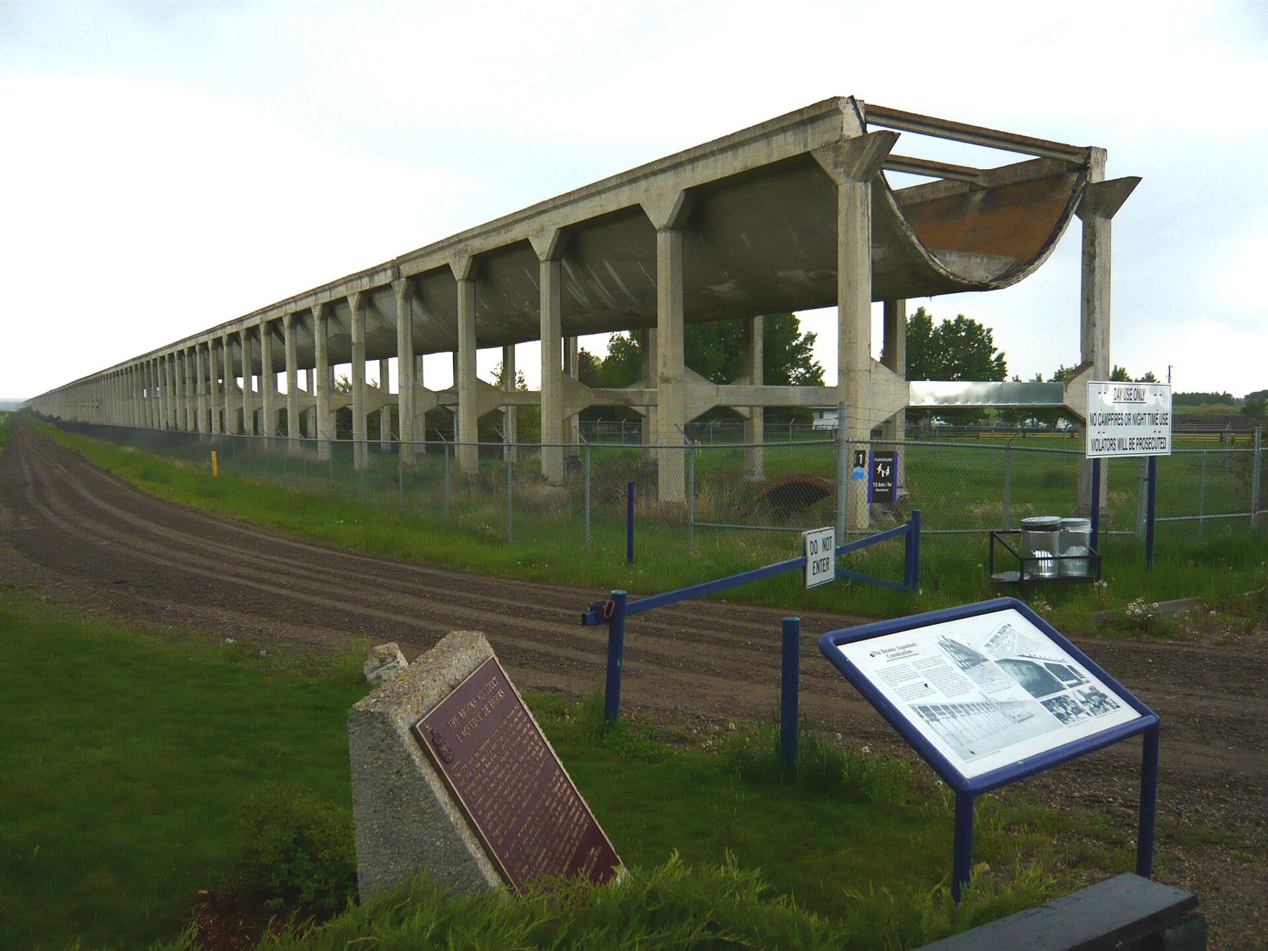
The aqueduct is a long open channel with a curved bottom, a little like a half-pipe, sitting on rows of concrete supports. Water flowed in at one end from the canal, across the valley by gravity, and out into the canal again at the other end. The whole structure is a few kilometres long, though only part of it rises high above the ground.
Concrete and prairie weather are hard on each other. Freezing, thawing and the constant flow of water wore the structure, and it needed repeated repairs over the decades. In the late 1970s it was replaced by a simpler earth-filled canal nearby, and the aqueduct stopped carrying water.
The replacement was a sign of how irrigation had changed. Earth canals lined with modern materials were cheaper to build and maintain than a long concrete flume, and machinery could do in months what had taken large crews of workers years. The aqueduct had done its job for more than six decades, and the land it watered was by then among the most productive in the province.
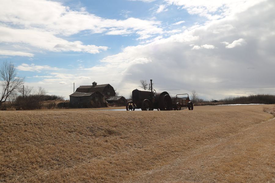 Further along the horizon · About 80 km east, around HannaReading a grain elevator from the road
A historic site on the plain
Rather than being demolished, the aqueduct was protected. It is now a National Historic Site of Canada and a provincial historic resource. A short path leads from the parking area to the structure, with signs explaining its history, and in summer an interpretive centre is open on a seasonal schedule.
Stay on paths and behind fences. The concrete is old, and parts are fragile.
Reading the concrete
Stand at one end and look along the length of the flume. Its gentle curve and the regular rhythm of its supports make it one of the most photographed structures on the prairie. Notice the repairs: patches and newer concrete where the original wore out. Look at the land, too. On one side, irrigated fields may be green; beyond them, unwatered native grass turns gold by midsummer. That contrast is the whole reason the aqueduct was built.
Birds use the structure as well. Swallows nest under the trough in summer, and hawks hunt the grassland around it. Binoculars help.
Take a moment, too, with the people who built it. Crews worked through prairie summers and early frosts, mixing concrete and setting forms by hand and with horses, far from any town. The structure's plain, repetitive beauty comes from that work: the same form poured again and again across the valley.
Fitting it into the drive
The aqueduct lies a short distance south-east of Brooks, signposted off the main highway. From Drumheller, the route south to Brooks crosses long stretches of open plain; from Brooks to Dinosaur Provincial Park it is a further drive north-east. A stop of an hour fits easily into a day that starts in Drumheller and ends in the park, or into the return trip.
Coming from the north-east instead, Highway 36 runs south from Hanna and its old railway roundhouse towards Brooks across some of the emptiest country in the province. It is a long, straight drive with wide views and few services, and the aqueduct makes a welcome break near its southern end.
Summer heat on this plain is intense and there is little shade. Bring a hat and water, and if you are going on to the park, keep more water in the car than you think you will need.