HORSESHOE CANYON · ABOUT 17 KM SOUTH-WEST · HOODOOS AND COULEES
Horseshoe Canyon: the first look down
On the drive in from Calgary, wheat fields run right to the edge of a great bite in the prairie. Horseshoe Canyon is most people's first view of the badlands, and it is a good one.
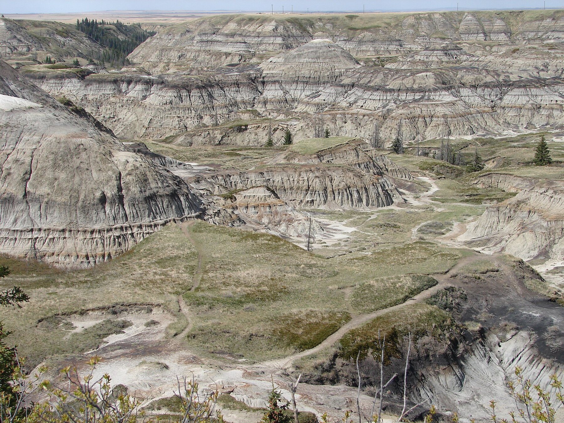
The road from Calgary crosses a long stretch of farmland before it reaches the Drumheller valley. Fields, fences, grain bins and the odd line of trees pass for an hour or more, and nothing suggests what is coming. Then a parking area appears beside the highway and the fields, and a few steps from the car the ground simply stops. Below you, a wide horseshoe of grey, brown and rust-coloured hills drops away into a canyon floor of sage and grass. This is the first look down that most visitors get of the Canadian Badlands, and it is still one of the best.
Where the wheat stops at the rim
What makes Horseshoe Canyon so striking is the contrast. On the rim, the land is flat and farmed, the soil dark and the grass short. A metre further, it falls into bare rock. There is no slow transition, no line of foothills or wooded slope. The prairie surface is a thin skin over soft, layered rock, and where water has cut through that skin, the rock beneath erodes fast into badlands.
The canyon was cut as the ice sheets melted at the end of the last ice age and water drained toward the Red Deer River valley, and it has been widened by every rainstorm since. Its curved shape, wrapping around a central floor, gives it the name. From the main viewpoint you can see most of the horseshoe at once, with the ridges and gullies of its sides running down to the floor like the folds of a cloth.
This is Treaty 7 country, part of the traditional lands of the Blackfoot Confederacy and neighbouring nations. Coulees like this one offered shelter from the wind, water in the bottoms and game on the slopes long before the first ranches and wheat farms reached the rim. Remember that history as you look down; the canyon is far older than the fields around it, and so is its human story.
Reading the bands in the walls
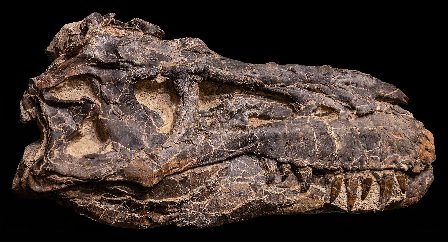
The walls of the canyon belong to the Horseshoe Canyon Formation, a thick sequence of rock laid down near the end of the age of dinosaurs. Back then, this was a low coastal plain at the edge of a shallow inland sea, crossed by rivers and dotted with swamps. Each band in the slopes records a different setting. Pale sandstones are old river channels. Grey and green mudstones are floodplain mud. Dark brown and black bands are coal, formed from the plants of ancient swamps and forests.
Some layers contain bentonite, a clay made from volcanic ash that drifted in from eruptions far to the west. Bentonite swells when it gets wet and shrinks as it dries, which gives many slopes their crusty, popcorn-like surface. It also explains why badlands change so quickly: every wet spell softens the surface, every dry one cracks it, and each heavy rain carries some of it away.
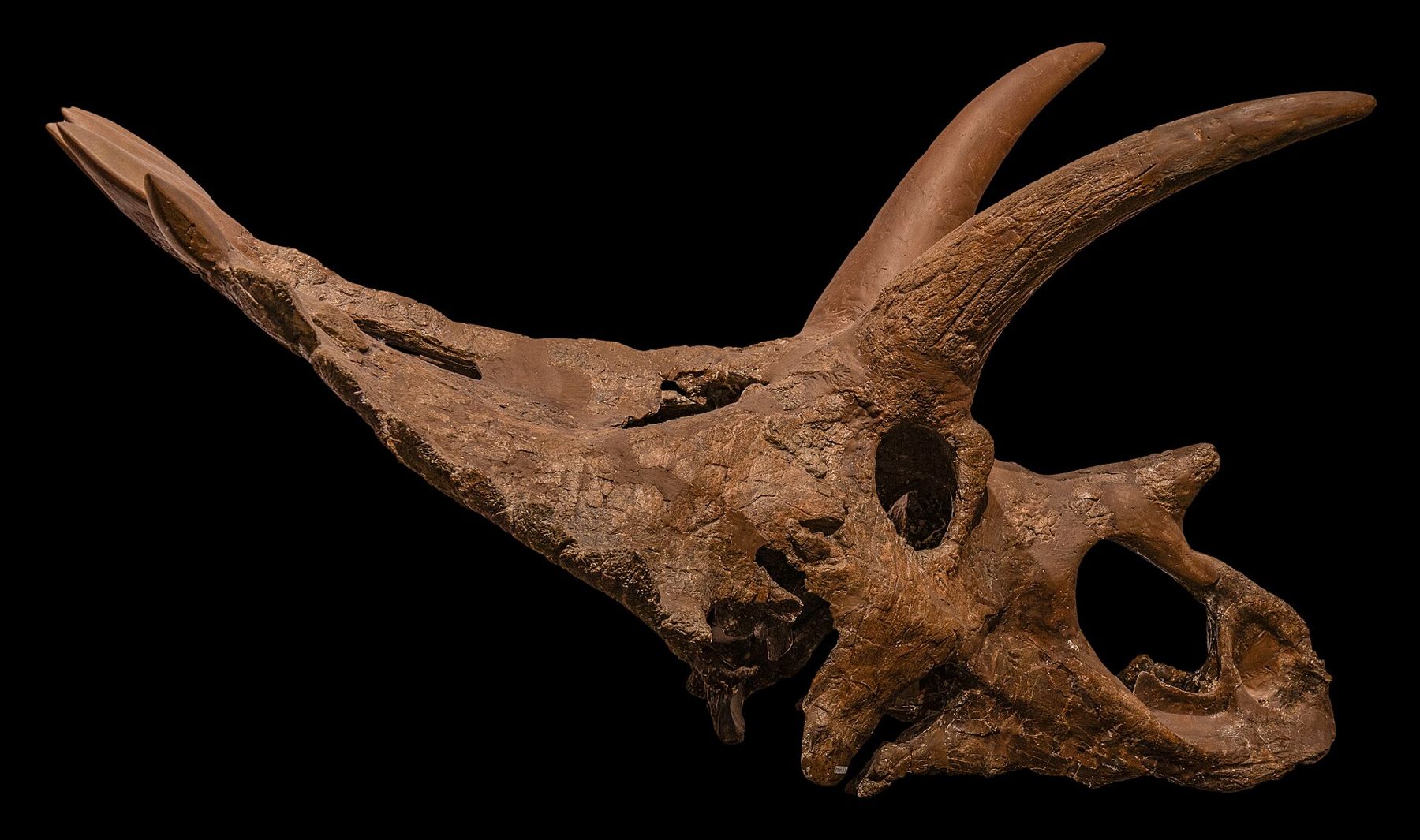
The coal seams here are part of the same sequence that was mined for decades in the Drumheller valley, and the canyon is a good place to see them clearly in cross-section before you visit the old mining towns. Fossils occur in these rocks too, and fragments of petrified wood or bone may lie on the surface. You may look and photograph, but in Alberta fossils belong to the province, and they must be left where they are. The rules on fossils explain why.
A metre further, it falls into bare rock.
Trails to the canyon floor
From the viewpoint, informal paths lead down into the canyon along ridges and gullies. Some have steps or rough stairs built into the steeper sections; others are simply worn tracks across bare ground. The descent is not long, but it is steeper than it looks from above, and the climb back up in summer heat can be hard work. Take your time, choose your route carefully, and remember that you have to come back up the same way.
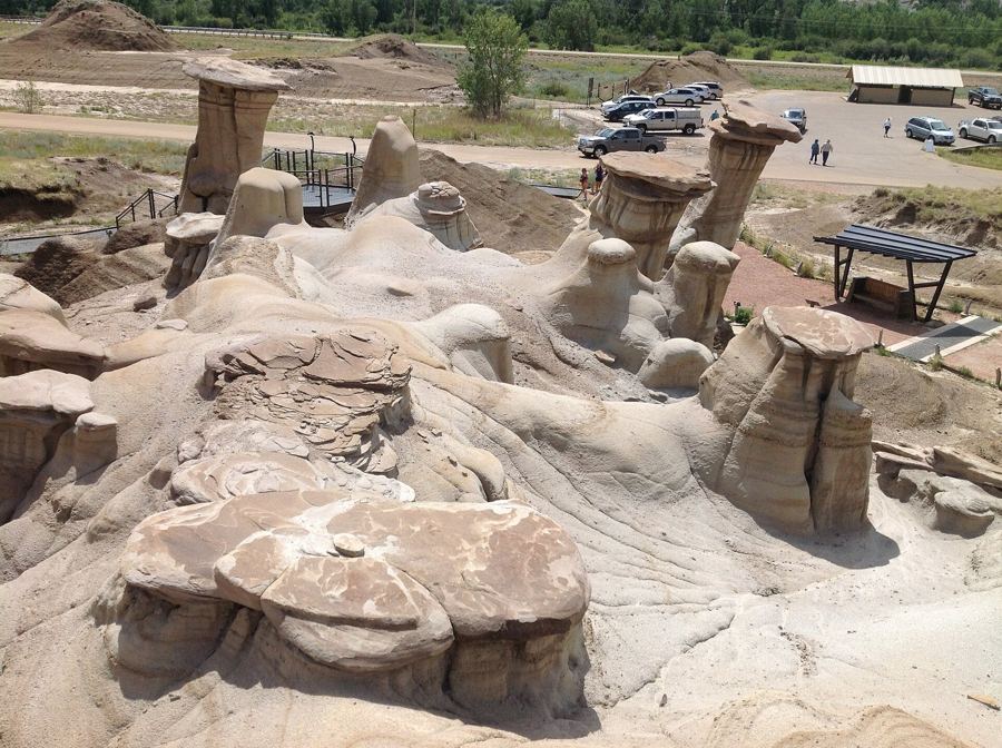 Further along the horizon · About 16 km south-eastThe hoodoos at first light
On the floor, the canyon opens into a quieter world. The wind drops, sage scents the air, and the walls rise on every side. Small hoodoos and capped pillars stand on some slopes, and the banding you saw from the top is now at eye level. In spring and early summer, wildflowers and cactus bloom between the slopes. Look for birds of prey circling overhead and listen for the calls of birds in the gullies.
Slick clay and edges without fences
Horseshoe Canyon is not a fenced park with railings and paved paths. Most of the rim has no barrier at all, and edges can be undercut or crumbly. Keep well back from the edge, especially with children, and do not stand on overhangs for photographs.
- After rain, the clay turns extremely slick and sticky. Even a light shower can make the paths dangerous. If the ground is wet, enjoy the view from the top.
- Wear shoes with good grip; smooth soles slide easily on dry, powdery clay as well.
- Carry water. The canyon floor is hot in summer and there is little shade.
- Watch where you step. Cactus grows low in the grass, and rattlesnakes live in the badlands of the region.
- Thunderstorms build fast over the prairie. If one approaches, get off exposed ground.
The parking area can be busy on summer weekends, and the quietest times are early morning and weekday evenings.
The light at either end of the day
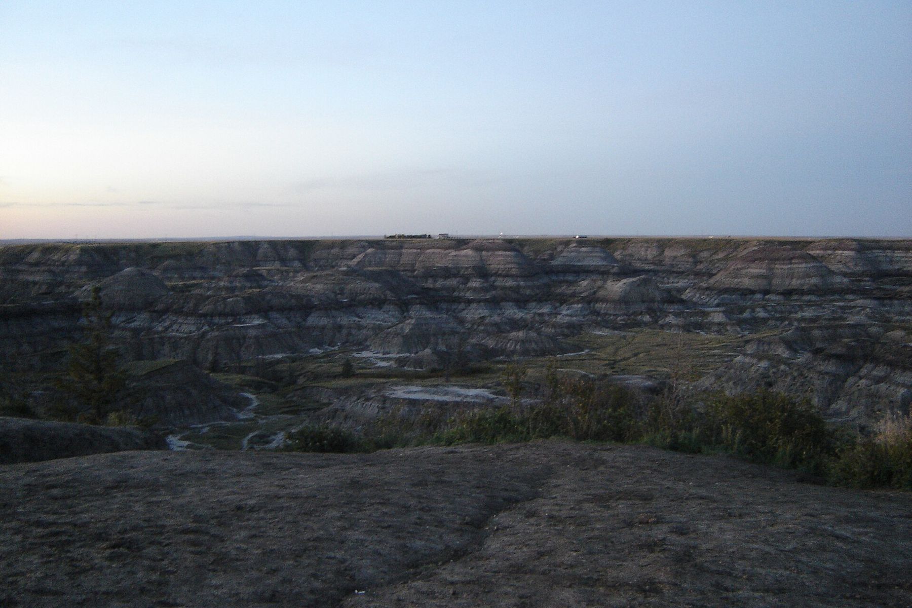
The canyon faces the sky in every direction, so the light changes the whole scene. At midday in summer, the slopes look pale and flat, and the heat shimmers off the floor. In the hour after sunrise and the hours before sunset, low light rakes across the walls and brings every band and gully into relief, and the colours shift from grey to gold and rose. Cloud shadows moving across the canyon on a windy day can be just as dramatic.
Spring brings green to the canyon floor and a scattering of flowers on the slopes. Autumn is drier and calmer, with clear air that sharpens the view across the horseshoe. In winter, snow settles on the ledges and picks out each band in white, while the steep faces stay bare. After dark, away from town lights, the sky over the rim is wide and deep, and on a clear night the stars reach right down to the edge of the fields.
From here, the road drops into the main valley and reaches Drumheller in a short drive. Ahead lie the museum, the river and the hoodoos on Highway 10, but few places in the valley give you the same sudden sense of the badlands breaking open beneath the prairie.